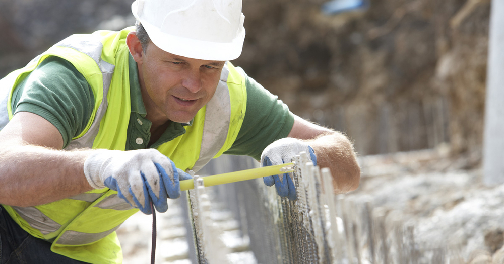
Accurate Measurements: The Value of Professional Land Surveying

Table of Contents:
- Introduction to Land Surveying
- The Importance of Accurate Measurements
- Modern Techniques in Land Surveying
- Common Surveying Equipment
- Benefits of Hiring Professional Surveyors
- Choosing the Right Land Surveyor
- Wrapping Up
Introduction to Land Surveying
Land surveying is the meticulous process of measuring and mapping out the position, distance, and angles between points on land. This practice forms the backbone of any land-related project, ensuring that boundaries are accurately defined and structures are built in the correct location. Accurate land surveying is essential to avoid boundary disputes and ensure the precision and success of various construction projects. Whether residential, commercial, or infrastructure projects, precise land surveying is the first step toward successful execution.
The Importance of Accurate Measurements
Accurate measurements are the cornerstone of effective land surveying for several critical reasons. First and foremost, they help prevent legal disputes over property boundaries, which can be both costly and time-consuming. Additionally, precise measurements ensure that construction projects are executed according to plan, avoiding expensive errors and delays. Even small measurement inaccuracies can snowball into significant issues, affecting individual properties and larger community projects. According to National Geographic, historical examples have shown how even marginal errors in land surveying can lead to drastic failures in construction and development projects.
Modern Techniques in Land Surveying
Technological advancements have thoroughly transformed the field of land surveying. Traditional methods have largely supplanted modern techniques such as LiDAR (Light Detection and Ranging), GPS (Global Positioning System), and drone-based surveying. LiDAR uses laser beams to capture detailed 3D information about the landscape, making it particularly useful for complex terrains. GPS allows for high precision in locating points on the Earth’s surface. At the same time, drone-based surveying provides a bird’s-eye view, capturing data from inaccessible locations. These technologies have made the land surveying process faster and more accurate, providing more reliable data than ever.
Common Surveying Equipment
Surveyors rely on a variety of specialized equipment to conduct their measurements. Theodolites are essential for measuring horizontal and vertical angles. Total stations, which combine the functions of theodolites and electronic distance measurement (EDM) devices, are excellent for achieving high precision in angle and distance measurements. GPS units provide real-time positioning data, which is essential for modern land surveys. Drones, equipped with high-resolution cameras and sensors, are increasingly employed for aerial surveys. Each tool has specific applications and is crucial in gathering accurate data, making the overall surveying process far more efficient and reliable.
Benefits of Hiring Professional Surveyors
Engaging the services of professional land surveyors can save significant time, money, and potential legal issues. Professionals possess the expertise to navigate complex terrains, utilize advanced technology effectively, and interpret data accurately. They can also produce legally binding survey documents, often required for property transactions and development permits. As highlighted by Forbes, hiring a qualified land surveyor is not just a regulatory requirement but a wise investment in your project’s successful and hassle-free completion. Professional surveyors provide peace of mind, ensuring that all factors are accurately accounted for before …
